
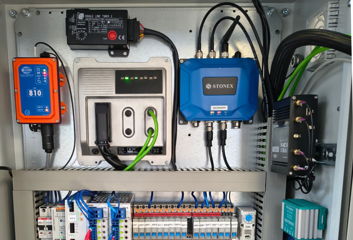
For the CPT machine recently delivered to Thade-Gerdes, Gouda Geo integrated a GPS positioning system that connects test locations directly with the CPT data acquisition process.
The system allows operators to navigate to predefined test positions and automatically record location data during testing.
From test plan to test position
A predefined test plan can be loaded into Gouda’s CPT-Explorer software. Using a GPS tablet, the operator can navigate to the required test position before starting the CPT.
At the start of each test, the GPS system captures the X and Y coordinates and stores them directly in the .GOU data file.
A specially developed height sensor measures and calculates the terrain height, adding the corresponding Z value to the recorded data.
Less manual input, better traceability
By integrating GPS positioning with the CPT data acquisition system, location information is recorded automatically, reducing the need for manual data entry.
This helps minimise typing errors and improves the traceability of individual CPT tests.
For operators, engineers and data teams, positioning is no longer a separate administrative step after testing. The relevant location information is included in the data file from the moment the CPT starts.
The GPS integration on the machine delivered to Thade-Gerdes is an example of how Gouda Geo connects positioning technology and data acquisition within the CPT workflow.